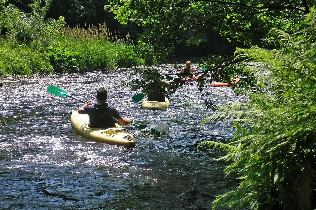
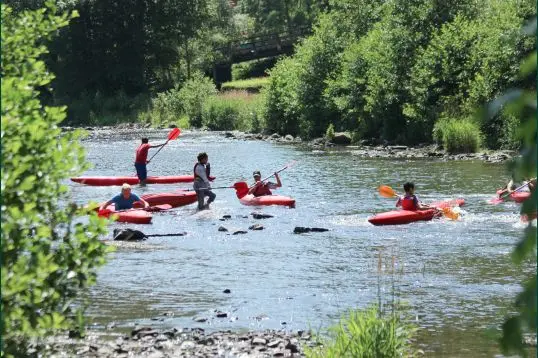
« Une journée parfaite en famille sur la Semois. L'accueil d'AmiPierre est chaleureux, le matériel est impeccable (les kayaks sont modernes et propres), et le système de navettes gratuites est super bien organisé. Une adresse incontournable dans les Ardennes ! »
Kayaking the Viroin
Olloy · Vierves · Treignes · Nature Park
A wild, hidden river of the Calestienne, in the heart of the Viroin-Hermeton Nature Park. The Viroin, the nature alternative to the great classics, far from the tourist motorways.
Viroin Descent Routes
Born at Nismes from the meeting of the Eau Noire and the Eau Blanche, the Viroin flows from east to west through one of Wallonia's most unspoilt valleys before reaching the Meuse in France. Gentler than the Amblève and more hidden than the Lesse, this river of the Calestienne rewards lovers of raw nature and tranquillity.
| Route | Distance | Avg. time | Level | Highlight |
|---|---|---|---|---|
| Vierves → Treignes | 6 km | 1.6h – 2.1h | Discovery | Listed village of Vierves |
| Olloy-sur-Viroin → Vierves | 6 km | 1.6h – 2.1h | Nature | Viroin-Hermeton Nature Park |
| Olloy → Treignes — Full Route | 12 km | 3.2h – 4.3h | Adventure | 12 km of wild river |
| Group & School Formula | 6 km | 1.6h – 2.1h | Group | Local supervision |
Vierves → Treignes (6 km)
The most accessible stretch of the Viroin, between the lovely villages of Vierves-sur-Viroin and Treignes. Six kilometres of clear, lively water beneath the limestone grasslands of the Calestienne, ideal for a first descent with the family when the level allows. Compulsory put-in upstream of the Vierves bridge, take-out at the Treignes bridge.
- Listed village of Vierves
- Marked put-in, right bank
- Easy whitewater I-II
Olloy-sur-Viroin → Vierves (6 km)
From Olloy-sur-Viroin, this stretch crosses the wild heart of the Viroin-Hermeton Nature Park. The river winds between limestone hills, alder carrs and nature reserves — a biodiversity corridor where kingfishers and dippers are at home. Far from the « tourist motorways » of the Lesse.
- Viroin-Hermeton Nature Park
- Wildlife: kingfisher, dipper
- Total tranquillity
Olloy → Treignes — Full Route (12 km)
The complete descent of the navigable Viroin, about twelve kilometres from Olloy-sur-Viroin to Treignes via Vierves. A day of immersion in an unspoilt valley, dotted with small drops depending on the flow. For self-reliant paddlers with time and good water-reading; the river stays class I-II but demands endurance.
- 12 km of wild river
- Full crossing of the park
- Full day
Group & School Formula (6 km)
The ideal formula for schools, youth groups and parties. Rental and supervision are arranged through Viroinval's local operators (L'Étape de Viroinval in Treignes), in liaison with the Viroinval Tourist Office. An educational nature outing in a protected setting, to combine with the Viroin Eco-museum or the Three Valleys Steam Railway.
- Local supervision
- Combine with Eco-museum / CFV3V
- Protected educational setting
🛶 Viroin Conditions Live
Estimated flow : 2.5 m³/s — Difficulty score : 1/5
Low level — risk of scraping, paddling sometimes impossible.
13°C — Wind 7 km/h
3.7 km/h based on flow
The Viroin is measured by the SPW station of Treignes (no. 9021); with no dedicated key in our real-time cache, the regime shown here is estimated from the neighbouring Lesse basin. Always check the real flow and the navigation calendar with the Viroinval Tourist Office before setting off.
The Viroin: Geography & Nature
From its birth at Nismes, at the confluence of the Eau Noire and the Eau Blanche, to its entry into France at Vireux, the Viroin runs some twenty kilometres through the Calestienne, one of Wallonia's richest limestone belts for biodiversity.
The Calestienne and its tiennes
The Viroin flows at the foot of the tiennes, these limestone hills with unique dry grasslands. At Nismes, the famous Fondry des Chiens — a chaos of rocks and sinkholes — bears witness to karst erosion. This particular geology gives the water its clarity and feeds an exceptional flora and fauna.
The whole valley is protected within the Viroin-Hermeton Nature Park. The villages of Vierves-sur-Viroin and Olloy, among Wallonia's finest, punctuate the descent.
A gentle, living river
Unlike the Ardennes torrents, the Viroin offers a steady, accessible current, class I to II. Its gravel bed, small drops and meanders make it a contemplative descent, where you paddle to the rhythm of nature.
The flow depends on rainfall over the Couvin and Chimay basin. In summer the level can become too low: navigation is then suspended to protect the bed and wildlife. The SPW station of Treignes provides the reference.
Kingfisher & Dipper
The banks of the Viroin are home to the kingfisher, a blue flash skimming the water, and the dipper, the only songbird able to walk underwater. A living river, a marker of excellent water quality.
Limestone grasslands
The tiennes above the river host wild orchids and rare butterflies. The Calestienne is a biodiversity hotspot, listed as nature reserves all along the route.
Heritage of Treignes
Treignes, the « village of museums », brings together the Viroin Eco-museum, the Espace Arthur Masson and the terminus of the Three Valleys Steam Railway. The perfect cultural complement to a nature descent.
Rent & enquire
Kayaking on the Viroin is commercially loosely organised and regulated. Rental is arranged through local operators, and the Viroinval Tourist Office centralises information on permitted access points, the navigation calendar and operators. Contact them before any trip.
Good to know
- 📍 Compulsory put-in : Vierves (right bank)
- 📍 Compulsory take-out : Treignes (right bank)
- 🌊 Navigation : confluence Nismes → Treignes bridge
- ⚖️ Periods depend on flow & regulations
- 🚫 Suspended in severe low water or flood
- 🌿 Nature reserves : strict respect for the banks
Preparing your Viroin Descent
A wild and regulated river, the Viroin must be earned. Good preparation ensures a respectful, safe and unforgettable descent.
📞 Book & check
Contact L'Étape de Viroinval for rental and the Tourist Office for the navigation calendar and water level. Book ahead: supply is limited and paddling depends on the flow.
🎒 What to bring?
Quick-drying synthetic clothing, compulsory closed shoes, a windbreaker, sunscreen and water. A dry bag for your camera: the Viroin's wildlife is worth the detour.
🌊 Be able to swim
Being able to swim is compulsory and the life jacket essential. Though gentle, the river requires care at the drops and after rain, when the current quickly strengthens.
🌿 Respect the park
You are crossing a nature park and reserves. Land only at the authorised points, do not disturb wildlife, leave no trace. Paddling outside the permitted zones is forbidden.
🌿 Paddle responsibly on the Viroin
Nature park and reserves of the Calestienne — let's preserve this jewel of biodiversity together.
Take everything back, even organic waste.
Stay discreet: kingfishers and herons nest here.
Put in and take out only at the marked points.
No paddling in low water: we protect the living bed.
When to kayak the Viroin?
A river of the Calestienne with variable flow, the Viroin is mainly paddled when the water level is sufficient — always check before setting off.
🌸 Spring (Apr-Jun)
The best period: generally good flow, a valley bursting with life, orchids in bloom on the tiennes. Ideal conditions to discover the river.
☀️ Summer (Jul-Aug)
Often low level: navigation may be limited or suspended on some stretches. Low crowds — the advantage of a hidden river. Check the flow before booking.
🍂 Autumn (Sep-Oct)
The flow rises with the rain, the colours blaze on the wooded slopes. A peaceful, wild atmosphere, far from the crowds.
❄️ Winter (Nov-Mar)
Navigation generally suspended (floods, cold, wildlife protection). Resting season for the valley — a chance to discover the museums of Treignes.
Frequently Asked Questions
Yes, when the water level is sufficient. The Vierves-Treignes and Olloy-Vierves stretches are class I-II, accessible to families and supervised beginners. The river is gentle; the main constraint is the flow, sometimes too low in summer.
Yes. Rental is arranged through local operators (L'Étape de Viroinval in Treignes) and supply is limited. Book ahead and check the navigation calendar with the Viroinval Tourist Office, as the activity depends on the flow and regulations.
The put-in at Vierves is upstream of the Viroin bridge (right bank) and the take-out at Treignes is upstream of the Rue Basse aux Raines bridge (right bank). These points are compulsory to protect the banks and the wildlife of the nature park.
The valley is a concentrate of heritage: the Fondry des Chiens and the grasslands of Nismes, the Viroin Eco-museum and the Espace Arthur Masson in Treignes, the Three Valleys Steam Railway, and the listed villages of Vierves and Olloy. Ideal for a weekend of nature and culture.
Yes. Navigation is suspended in severe low water (level too low) and in flood (dangerous flow), and is subject to a regulatory calendar. That's why you should always check with the Viroinval Tourist Office before setting off.